Live · updated 1 min ago

Nome Census Area weather alerts

8 active alerts for Nome Census Area, Alaska right now: 3 Blizzard Warnings, a High Wind Warning, 2 Coastal Flood Watches, and 1 more.

48 in the last 30 days 107 in 12 months (since Aug 30) most common: High Surf Advisory Get alerts on your phone →

Active alerts for Nome Census Area

Refreshed every few minutes; times in AKDT.

Extreme Expected Starts in 19 hr

Blizzard Warning

Issued Thu, Oct 22, 6:02 AM AKDT by NWS Fairbanks AK Until Sat, Oct 24, 1:00 AM AKDT (in 2 day)

Area: Southern Seward Peninsula Coast

* WHAT...Blizzard conditions expected. Total snow accumulations between 3 and 7 inches. Winds gusting as high as 60 mph. * WHERE...Southern Seward Peninsula Coast. * WHEN...From 4 AM Friday to 1 AM AKDT Saturday. * IMPACTS...Travel could be very difficult. Strong winds could result in power outages. Visibilities may drop below 1/4 mile due to falling and ...

What it means: Sustained winds of 35 mph or more with falling or blowing snow reducing visibility to under a quarter mile for three hours or more. Do not travel.

Full alert with map and forecast →

Extreme Expected Starts in 19 hr

Blizzard Warning

Issued Thu, Oct 22, 6:02 AM AKDT by NWS Fairbanks AK Until Sat, Oct 24, 1:00 AM AKDT (in 2 day)

Area: Shishmaref; Bering Strait Coast

* WHAT...Blizzard conditions expected. Total snow accumulations up to 3 inches. Winds gusting as high as 60 mph. * WHERE...Bering Strait Coast and Shishmaref. * WHEN...From 4 AM Friday to 1 AM AKDT Saturday. * IMPACTS...Travel could be very difficult. Strong winds could result in power outages. Visibilities may drop below 1/4 mile due to falling and blowi...

What it means: Sustained winds of 35 mph or more with falling or blowing snow reducing visibility to under a quarter mile for three hours or more. Do not travel.

Full alert with map and forecast →
Extreme Expected Starts in 19 hr

Blizzard Warning

Issued Thu, Oct 22, 6:02 AM AKDT by NWS Fairbanks AK Until Sat, Oct 24, 10:00 AM AKDT (in 2 days)

Area: Interior Seward Peninsula

* WHAT...Blizzard conditions expected. Total snow accumulations between 8 and 15 inches. Winds gusting as high as 65 mph. * WHERE...Interior Seward Peninsula. * WHEN...From 4 AM Friday to 10 AM AKDT Saturday. * IMPACTS...Travel could be very difficult. Areas of blowing snow could significantly reduce visibility. Visibilities may drop below 1/4 mile due to...

What it means: Sustained winds of 35 mph or more with falling or blowing snow reducing visibility to under a quarter mile for three hours or more. Do not travel.

Full alert with map and forecast →
Severe Expected Starts in 13 hr

High Wind Warning

Issued Thu, Oct 22, 5:26 AM AKDT by NWS Fairbanks AK Until Sat, Oct 24, 4:00 PM AKDT (in 2 days)

Area: St Lawrence Island

* WHAT...South winds 30 to 40 mph with gusts up to 60 mph expected. * WHERE...St Lawrence Island. * WHEN...From 10 PM this evening to 4 PM AKDT Saturday. * IMPACTS...High winds may move loose debris, damage property and cause power outages. Travel could be difficult. * ADDITIONAL DETAILS...A brief period of snow will change to rain by Friday morning. Wind...

What it means: Sustained winds of 40 mph or more, or gusts of 58 mph or more, are expected. Secure loose objects and expect downed trees and power lines.

Full alert with map and forecast →
Moderate Future Starts in 19 hr

Coastal Flood Watch

Issued Wed, Oct 21, 3:09 PM AKDT by NWS Fairbanks AK Until Sun, Oct 25, 10:00 PM AKDT (in 4 days)

Area: Shishmaref; Bering Strait Coast

* WHAT...Significant coastal flooding possible. Water levels 4 to 6 feet above the normal high tide line possible. * WHERE...Shishmaref, Diomede, and Bering Strait Coast. * WHEN...From late Thursday night through Sunday evening. * IMPACTS...Low lying property including homes, businesses, and some critical infrastructure may be inundated. Some shoreline er...

What it means: Significant coastal flooding is possible. Prepare to protect property near the shore.

Full alert with map and forecast →
Moderate Future Starts in 19 hr

Coastal Flood Watch

Issued Wed, Oct 21, 3:09 PM AKDT by NWS Fairbanks AK Until Mon, Oct 26, 4:00 AM AKDT (in 4 days)

Area: Southern Seward Peninsula Coast

* WHAT...Significant coastal flooding possible. Water levels 5 to 8 feet above the normal high tide line possible. * WHERE...Southern Seward Peninsula Coast. * WHEN...From late Thursday night through late Sunday night. * IMPACTS...Low lying property including homes, businesses, and some critical infrastructure may be inundated. Some shoreline erosion may ...

What it means: Significant coastal flooding is possible. Prepare to protect property near the shore.

Full alert with map and forecast →
Minor Expected Starts in 19 hr

High Surf Advisory

Issued Wed, Oct 21, 3:09 PM AKDT by NWS Fairbanks AK Until Sun, Oct 25, 10:00 PM AKDT (in 4 days)

Area: St Lawrence Island

* WHAT...Large breaking waves of 3 to 5 feet above the normal high tide line at Gambell and 2 to 3 feet above the normal high tide line at Savoonga. * WHERE...St Lawrence Island. * WHEN...From 4 AM Friday to 10 PM AKDT Sunday. * IMPACTS...Localized beach erosion may occur. * ADDITIONAL DETAILS...South to southeast winds increase Thursday night gusting up ...

What it means: Large breaking waves are expected on beaches, with dangerous rip currents. Stay off jetties and out of the water.

Full alert with map and forecast →
Minor Expected Starts in 19 hr

High Surf Advisory

Issued Wed, Oct 21, 3:09 PM AKDT by NWS Fairbanks AK Until Mon, Oct 26, 4:00 AM AKDT (in 4 days)

Area: Eastern Norton Sound and Nulato Hills

* WHAT...Large breaking waves of 3 to 6 feet above the normal high tide line at Stebbins, St. Michael, and Unalakleet, 4 to 7 feet above the normal high tide line at Shaktoolik, and 5 to 10 feet above the normal high tide line at Koyuk and Elim. * WHERE...Eastern Norton Sound and Nulato Hills. * WHEN...From 4 AM Friday to 4 AM AKDT Monday. * IMPACTS...Loc...

What it means: Large breaking waves are expected on beaches, with dangerous rip currents. Stay off jetties and out of the water.

Full alert with map and forecast →

Get Nome Census Area alerts on your phone before you think to look them up

Forecast Bar watches the official alert feeds around the clock, NWS in the United States and Environment Canada in Canada, and pushes every warning, watch and advisory for your saved locations the moment it is issued. This page is the same data, a few minutes later.

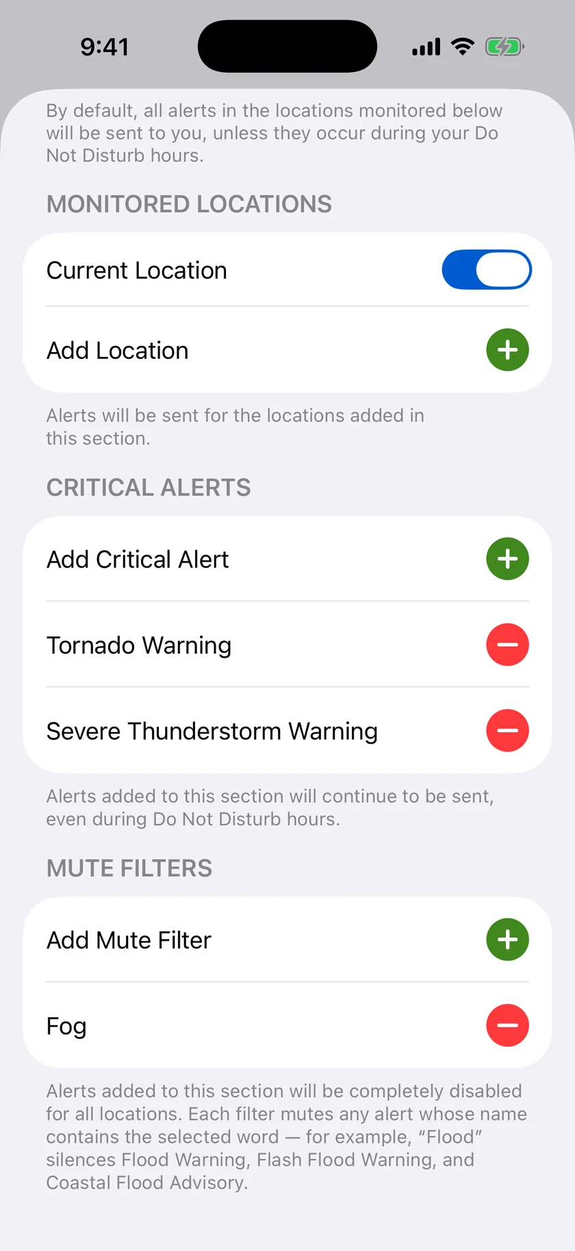
  • Push notifications for severe weather, with Critical Alerts that break through Focus modes
  • Storm Tracker and Live Activities that follow a storm cell on your Lock Screen
  • Radar with warnings drawn on the map, on iPhone, iPad, Apple Watch, Mac and Apple TV
  • Rain alerts, air quality, tides, aurora and custom thresholds you set yourself
Forecast Bar severe weather alert notifications on an iPhone Lock Screen

Where

Nome Census Area on the map

Alert polygons are NWS's own. Forecast Bar's radar shows the same warnings over live precipitation, with future radar and lightning. See the radar.

Last 30 days

Recent alerts for Nome Census Area

AlertIssuedEndedIssued by
High Surf Advisory 8:43 AM Oct 26, 4:00 AM Fairbanks AK
Coastal Flood Advisory 8:43 AM Oct 25, 10:00 PM Fairbanks AK
High Surf Advisory 8:43 AM Oct 25, 10:00 PM Fairbanks AK
Coastal Flood Advisory 8:43 AM Oct 25, 10:00 PM Fairbanks AK
Blizzard Warning Oct 21, 3:06 PM Oct 24, 10:00 AM Fairbanks AK
Blizzard Warning Oct 21, 3:06 PM Oct 24, 1:00 AM Fairbanks AK
High Wind Warning Oct 21, 2:50 PM Oct 24, 4:00 PM Fairbanks AK
High Surf Advisory Oct 20, 3:07 PM Oct 26, 4:00 AM Fairbanks AK
Coastal Flood Watch Oct 20, 3:07 PM Oct 25, 10:00 PM Fairbanks AK
Coastal Flood Watch Oct 20, 3:07 PM Oct 26, 4:00 AM Fairbanks AK
High Surf Advisory Oct 20, 3:07 PM Oct 25, 10:00 PM Fairbanks AK
Winter Storm Watch Oct 20, 2:37 PM Oct 25, 4:00 PM Fairbanks AK
Winter Storm Watch Oct 20, 2:37 PM Oct 26, 4:00 PM Fairbanks AK
High Wind Watch Oct 20, 2:20 PM Oct 24, 4:00 PM Fairbanks AK
Special Weather Statement Oct 18, 3:13 PM Oct 19, 7:00 AM Fairbanks AK
Special Weather Statement Oct 18, 6:29 AM Oct 18, 4:00 PM Fairbanks AK
High Wind Warning Oct 9, 12:33 AM Oct 9, 1:00 AM Fairbanks AK
High Wind Warning Oct 8, 9:38 PM Oct 9, 1:00 AM Fairbanks AK
High Wind Warning Oct 8, 9:38 PM Oct 8, 10:00 PM Fairbanks AK
High Surf Advisory Oct 8, 12:40 PM Oct 10, 4:00 AM Fairbanks AK
Coastal Flood Advisory Oct 8, 12:40 PM Oct 10, 4:00 AM Fairbanks AK
High Surf Advisory Oct 8, 12:40 PM Oct 10, 4:00 AM Fairbanks AK
High Wind Warning Oct 8, 12:15 PM Oct 9, 1:00 AM Fairbanks AK
High Wind Warning Oct 8, 12:15 PM Oct 8, 10:00 PM Fairbanks AK
Coastal Flood Advisory Oct 8, 9:02 AM Oct 10, 4:00 AM Fairbanks AK
High Surf Advisory Oct 8, 9:02 AM Oct 10, 4:00 AM Fairbanks AK
High Surf Advisory Oct 8, 6:22 AM Oct 10, 4:00 AM Fairbanks AK
Coastal Flood Advisory Oct 8, 6:22 AM Oct 10, 4:00 AM Fairbanks AK
High Surf Advisory Oct 8, 6:22 AM Oct 10, 4:00 AM Fairbanks AK
High Wind Warning Oct 7, 8:29 PM Oct 9, 1:00 AM Fairbanks AK
High Wind Warning Oct 7, 8:29 PM Oct 8, 10:00 PM Fairbanks AK
High Surf Advisory Oct 7, 3:01 PM Oct 10, 4:00 AM Fairbanks AK
Coastal Flood Advisory Oct 7, 3:01 PM Oct 10, 4:00 AM Fairbanks AK
High Surf Advisory Oct 7, 3:01 PM Oct 10, 4:00 AM Fairbanks AK
High Wind Warning Oct 7, 1:17 PM Oct 9, 1:00 AM Fairbanks AK
High Wind Warning Oct 7, 1:17 PM Oct 8, 10:00 PM Fairbanks AK
High Surf Advisory Oct 7, 7:27 AM Oct 10, 4:00 AM Fairbanks AK

Pattern

What Nome Census Area gets alerted for

Every alert that named Nome Census Area in the last 12 months, by type. Records begin August 30, 2026, so this fills in over the year.

High Surf Advisory
48
High Wind Warning
19
High Wind Watch
12
Coastal Flood Advisory
10
Blizzard Warning
6
Coastal Flood Watch
5
Special Weather Statement
4
Winter Storm Watch
3

Plain English

What these alerts mean

A warning means the hazard is happening or about to; a watch means conditions favour it; an advisory is a lesser hazard still worth planning around.

Blizzard Warning

Sustained winds of 35 mph or more with falling or blowing snow reducing visibility to under a quarter mile for three hours or more. Do not travel.

High Wind Warning

Sustained winds of 40 mph or more, or gusts of 58 mph or more, are expected. Secure loose objects and expect downed trees and power lines.

Coastal Flood Watch

Significant coastal flooding is possible. Prepare to protect property near the shore.

High Surf Advisory

Large breaking waves are expected on beaches, with dangerous rip currents. Stay off jetties and out of the water.

Coastal Flood Advisory

Minor coastal flooding is expected, usually around high tide. Expect water on low-lying roads near the shore.

Winter Storm Watch

A significant winter storm is possible. Prepare for hazardous travel and stock up ahead of time.

High Wind Watch

Damaging winds are possible. Secure loose objects ahead of time.

Special Weather Statement

A heads-up about conditions that do not meet warning or advisory criteria but still deserve attention, such as a strong storm, patchy fog or a brief burst of snow.

Nearby

Alerts near Nome Census Area

Neighbouring census areas in Alaska

Questions

About Nome Census Area alerts

How do I get Nome Census Area weather alerts on my iPhone?

Install Forecast Bar, add Nome Census Area as a location, and turn on severe weather alerts. Every NWS warning, watch and advisory for Nome Census Area then arrives as a push notification at the moment of issue, with Critical Alerts available for the most dangerous warnings. Forecast Bar also runs on iPad, Apple Watch, Mac and Apple TV.

Where do these alerts come from?

From the National Weather Service alert feed (api.weather.gov). NWS issues alerts by county and by forecast zone; this page lists every product that names Nome Census Area. Forecast Bar checks the feed continuously and this page refreshes within a few minutes of a change.

What is the difference between a watch, a warning and an advisory?

A warning means the hazard is occurring, imminent or very likely: act now. A watch means conditions are favourable for it to develop: prepare and stay informed. An advisory covers a hazard that is less serious than a warning but can still cause real inconvenience or danger if you are not ready for it.

Can I get this data as JSON?

Yes. /weather-alerts/ak/nome-census-area.json returns the active alerts, the last 30 days and the 12-month counts for Nome Census Area, refreshed every minute. Please cache responses and credit National Weather Service as the source.

Forecast Bar app icon

Never find out about a Nome Census Area alert from this page again

Add Nome Census Area in Forecast Bar and every NWS warning, watch and advisory arrives as a push notification the moment it is issued, on iPhone, iPad, Apple Watch, Mac and Apple TV.

Free to download; live weather requires a subscription. On iPhone and iPad, every subscription includes a 7-day free trial for new subscribers; Mac plans do not. Mac and iOS plans are separate; Apple TV is included with Forecast Bar Gold on iOS.