Live · updated 1 min ago
Summit County weather alerts
No active National Weather Service alerts for Summit County, Colorado right now. The most recent was a Winter Weather Advisory that ended Oct 15, 3:00 AM.
4 in the last 30 days 8 in 12 months (since Aug 30) most common: Special Weather Statement Get alerts on your phone →
Active alerts for Summit County
Refreshed every few minutes; times in MDT.
All clear in Summit County
No warnings, watches or advisories are in effect. See what is active across the country, or check a neighbouring county below.
Get Summit County alerts on your phone before you think to look them up
Forecast Bar watches the official alert feeds around the clock, NWS in the United States and Environment Canada in Canada, and pushes every warning, watch and advisory for your saved locations the moment it is issued. This page is the same data, a few minutes later.
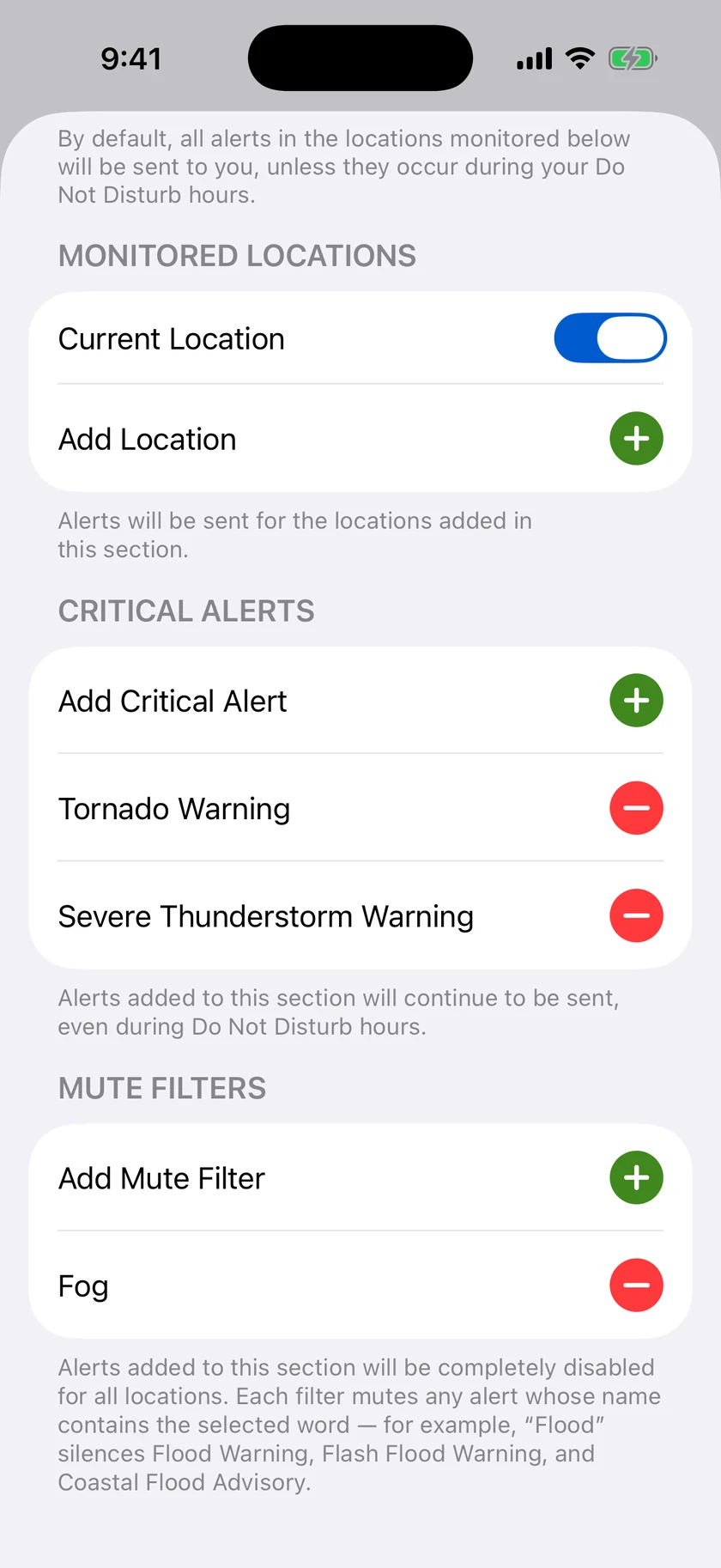
- Push notifications for severe weather, with Critical Alerts that break through Focus modes
- Storm Tracker and Live Activities that follow a storm cell on your Lock Screen
- Radar with warnings drawn on the map, on iPhone, iPad, Apple Watch, Mac and Apple TV
- Rain alerts, air quality, tides, aurora and custom thresholds you set yourself
Where
Summit County on the map
Alert polygons are NWS's own. Forecast Bar's radar shows the same warnings over live precipitation, with future radar and lightning. See the radar.
Last 30 days
Recent alerts for Summit County
| Alert | Issued | Ended | Issued by |
|---|---|---|---|
| Winter Weather Advisory | Oct 14, 11:03 PM | Oct 15, 3:00 AM | Denver CO |
| Winter Weather Advisory | Oct 14, 1:41 PM | Oct 15, 6:00 AM | Denver CO |
| Winter Weather Advisory | Oct 14, 4:03 AM | Oct 15, 6:00 AM | Denver CO |
| Winter Weather Advisory | Oct 13, 12:16 PM | Oct 15, 6:00 AM | Denver CO |
Pattern
What Summit County gets alerted for
Every alert that named Summit County in the last 12 months, by type. Records begin August 30, 2026, so this fills in over the year.
Plain English
What these alerts mean
A warning means the hazard is happening or about to; a watch means conditions favour it; an advisory is a lesser hazard still worth planning around.
Snow, sleet or freezing rain that makes travel slippery is expected. Allow extra time and drive carefully.
A heads-up about conditions that do not meet warning or advisory criteria but still deserve attention, such as a strong storm, patchy fog or a brief burst of snow.
Nearby
Alerts near Summit County
Neighbouring counties in Colorado
Questions
About Summit County alerts
How do I get Summit County weather alerts on my iPhone?
Install Forecast Bar, add Summit County as a location, and turn on severe weather alerts. Every NWS warning, watch and advisory for Summit County then arrives as a push notification at the moment of issue, with Critical Alerts available for the most dangerous warnings. Forecast Bar also runs on iPad, Apple Watch, Mac and Apple TV.
Where do these alerts come from?
From the National Weather Service alert feed (api.weather.gov). NWS issues alerts by county and by forecast zone; this page lists every product that names Summit County. Forecast Bar checks the feed continuously and this page refreshes within a few minutes of a change.
What is the difference between a watch, a warning and an advisory?
A warning means the hazard is occurring, imminent or very likely: act now. A watch means conditions are favourable for it to develop: prepare and stay informed. An advisory covers a hazard that is less serious than a warning but can still cause real inconvenience or danger if you are not ready for it.
Can I get this data as JSON?
Yes. /weather-alerts/co/summit-county.json returns the active alerts, the last 30 days and the 12-month counts for Summit County, refreshed every minute. Please cache responses and credit National Weather Service as the source.

Never find out about a Summit County alert from this page again
Add Summit County in Forecast Bar and every NWS warning, watch and advisory arrives as a push notification the moment it is issued, on iPhone, iPad, Apple Watch, Mac and Apple TV.
Free to download; live weather requires a subscription. On iPhone and iPad, every subscription includes a 7-day free trial for new subscribers; Mac plans do not. Mac and iOS plans are separate; Apple TV is included with Forecast Bar Gold on iOS.